This course will begin by introducing you to raster data. You will learn how to download raster data, how to perform terrain analysis; such as slope, aspect, hill shade, and contour. You will also learn how a raster calculator works and the meaning of quantum geographic information system. This will lead you to map composition and the encompassing maps in QGIS. You will become familiar with the styling, labeling, and adding of map elements to the map composition page.
Next, you will have a grasp of shapefiles using QGIS and how to label it. You will then be introduced to R software, how to download and install the R software. You will gain an understanding of the R interface, the different data types in R, and the basic functionalities that can be performed using the R software. You will assimilate how open-source software is designed and how it actually compares with proprietary software. You will then understand how an open-source standard is being built.
Lastly, you will be brought up to speed with the open geospatial consortium, which is a consortium responsible for the development of standardization. You will familiarize yourself with how it evolved as an organization, its domains, standards, and organizational structure. You will also become familiar with how to become a member of the OGC and how a collaboration of particular standardization can happen through OGC. This will further help you acquire more skills on how to create a WMS layer using QGIS, creating an SLD file, and how to integrate this SLD file into GeoServer.
What You Will Learn In This Free Course
View All Learning Outcomes View Less All Alison courses are free to enrol, study, and complete. To successfully complete this Certificate course and become an Alison Graduate, you need to achieve 80% or higher in each course assessment.
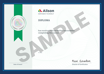
Once you have completed this Certificate course, you have the option to acquire an official Certificate, which is a great way to share your achievement with the world.
Your Alison certificate is:
- Ideal for sharing with potential employers.
- Great for your CV, professional social media profiles, and job applications.
- An indication of your commitment to continuously learn, upskill, and achieve high results.
- An incentive for you to continue empowering yourself through lifelong learning.
Alison offers 2 types of Certificate for completed Certificate courses:
- Digital Certificate: a downloadable Certificate in PDF format immediately available to you when you complete your purchase.
- Physical Certificate: a physical version of your officially branded and security-marked Certificate
All Certificate are available to purchase through the Alison Shop. For more information on purchasing Alison Certificate, please visit our FAQs. If you decide not to purchase your Alison Certificate, you can still demonstrate your achievement by sharing your Learner Record or Learner Achievement Verification, both of which are accessible from your Account Settings.


 Avg. Hours
  Contains Video
  CPD Accredited
 Total XP:
 Knowledge & Skills You Will Learn


